For years I’ve heard people say there are no good hiking trails near Dallas. I used to be one of them! When I decided to dig deeper, I was pleasantly surprised to discover that elevation isn’t everything.
It can be difficult to find trails in Dallas that actually put you in nature, lead you off of the paved path, and provide a challenging workout. This is a list of my top 5 hiking trails near Dallas – that are generally unpaved, provide a real physical workout, and will make you feel that you are actually in the wilderness.
These trails will be at most 1.5 hours from Central Dallas – the closest being a 25 minute drive away. They are listed from closest to furthest away.
Cedar Ridge Preserve

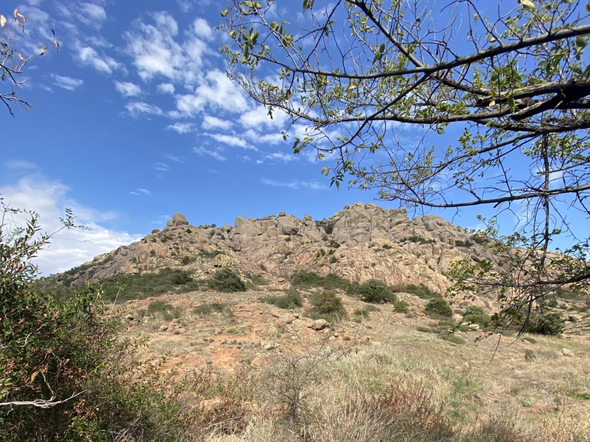
Description: This is one of the most popular trails in the DFW area. Expect a rugged trail with some steep hills, wooden stairs, loose rocks, and roots. You can also expect to get some beautiful views of the hill country on the highest points of the trails.
Distance: The trails range from 0.15 miles to 1.90 miles, but you can combine loops and hike around 9 miles without repeating anything. Click here for the trail map.
Location: 7171 Mountain Creek Pkwy, Dallas, TX – 20-25 minutes from Central Dallas.
Parking Info: Parking at this location often fills up early. Be sure to allow enough time to find your parking spot if you need to stick to a schedule. The gate usually opens at 6:30. Parking is free, but Audubon Dallas accepts donations as a nonprofit organization that maintains the preserve.
More: https://audubondallas.org/cedar-ridge-preserve/
Arbor Hills Nature Preserve

Description: This is by far the “easiest” location to hike on this list. The numerous trails weave through the park, which is paved in some locations and unpaved in others. Expect a stable trail with both dense forest and wide-open clearings, a small creek and opportunities to cross, and occasional glimpses of neighboring apartments that border the preserve.
Distance: There are about 3 miles of unpaved natural trails and 3 miles of paved trail within the park. They fork and join each other many times, so you may find yourself repeating some portions of the hike. Click here to view a few of the trail options.
Location: 6701 W Parker Road, Plano, TX 75093 – 30 minutes north of Central Dallas.
Parking Info: Parking is free. The parking lot is large, but can fill up by late morning on the weekends. Check the city of Plano’s webpage on the Preserve for hours of operation.
Eagle Mountain Park

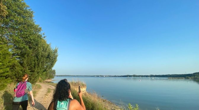
Description: At Eagle Mountain Park in the morning, you will almost always see deer. There are also a few hills and nice views of the lake. Expect the occasional spike in elevation on the gravel pathways. Snakes are known to be seen on these trails.
Distance: The trails range from 0.19 miles to 1.79 miles, but if you hike the biggest two loops you will hit 7-7.5 miles in total. Click here for the trail map.
Location: 11601 Morris Dido Newark Road · Fort Worth, TX – 1 hour away from Central Dallas.
Parking Info: Free; open from dawn until 30 minutes before sunset. It may fill up early on weekends.
More: Don’t forget to check out the farm structures that have been preserved since their creation in 1938! For more history info: https://eaglemountainlake.org/eagle-mountain-park/
Quanah Hill

Description: The Quanah Hill trail has a few lake views, interesting plants, plenty of hills, and occasional deer sightings. You might experience rocks, roots, steep grades and inclines. It is also used by mountain bikers.
Distance: The trails range from 0.30 to 3 miles long, but combined add up to a total of 7 miles. Click here for the trail map.
Location: 808 W Lake Dr, Weatherford, TX 76087 – 1 hour 15 minutes from Central Dallas.
Parking Info: Open dawn to dusk; if traveling south on West Lake Drive turn right just past the chain link fence.
More: https://weatherfordtx.gov/3209/Quanah-Hill
Dinosaur Valley State Park

Description: Dinosaur Valley State Park is popular with families who camp near the fossils in the river. The more difficult hikes are less traveled and more rugged. Expect beautiful views of the river, hills, loose rocks, roots, etc. There are a couple of water crossings on this trail. These are usually dry. However, be prepared to get your feet wet just in case. Trekking poles may be helpful for some on this hike.
Distance: The trails range from 0.1 miles to 7.5 miles, but you can combine them to get 10-15, if you’d like. Click here for the trail map.
Location: 1629 Park Rd 59. Glen Rose, TX 76043 – 1 hour 27 minutes from Central Dallas.
Parking Info: $7 day use fee. You MUST get a day pass reservation online prior to coming out for the hike. Print your confirmation to show at the park entrance. If there is no attendant just come on in. Place the printed day pass inside your windshield while in the park as proof of payment. See the state park website for more information.
thank you
I hope this post is encouraging to those who have struggled, as I have, to find satisfactory hiking trails near Dallas. Please leave a comment if you decide to go explore any of these areas and let me know what you think!


