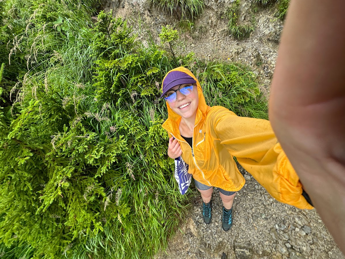
Hiking in Innsbruck is always fantastic. Innsbruck is a gorgeous city, surrounded by mountains and filled with centuries of history. If you want to enjoy the scenery on foot, there are many fantastic trails to choose from. You can spend one day walking through the city and to trek up the cloud-capped mountains the next.
Most of the “easy” trails that I found were simply footpaths that ran through the city, so I’m leaving those out of this article. Below you’ll find a list of my favorite hiking trails around Innsbruck – from more relaxing walks to challenging (but rewarding) treks that reach the mountaintops.
Hungerburg to Hafelekarspitze


One of the more difficult hikes on this list, Hungerburg to Hafelekarspitze is the trek from the mountainside district of Hungerburg up to the peak. If you want the classic summiting experience, then this is the hike for you. Unless you have extensive experience with completing difficult hikes alone, I would advice going in a group. The first 3 miles are extremely steep as you walk straight up through the trees and above the clouds. The 4th mile contains scree and is very exposed as you reach the summit. Trekking poles are advised. Elevation Gain: 4,790 ft (1460 meters)
Distance: 8 miles, out & back (~13 kilometers)
Difficulty Rating: Hard
Estimated Time to Complete: 7 hours and 30 minutes
Goetheweg: Karstube to Pfeishütte
This hike begins about 1 mile away from the Hafelekarspitze peak and traverses across the ridgeline 4 miles. To get to the starting point of this trail, you’ll need to take the cable car located in Hungerburg. The cable car tickets costs €40, or about $40 (depending on the current exchange rate). This hike will provide the thrill of a mountain adventure while being less challenging than starting all the way at the base of the mountain. Part of this trail is only available during summer months, so plan accordingly. Hiking in a group is recommended, as well as trekking poles. Elevation Gain: 1,092 ft (333 m)
Distance: 8.5 miles, out and back (~14 km)
Difficulty Rating: Moderate
Estimated Time to Complete: 3 hours
Hungerburg to Umbrüggler Alm
If the previously mentioned Hungerburg hikes won’t fit into your itinerary, then this loop may be the right fit! Starting in a similar location as Hungerburg to Hafelekarspitze, this loop is much shorter but just as steep. You will hike 1.5 miles up the mountain to the Alm mountain restaurant. There, you can stop for food and enjoy the gorgeous views. On a cloudy day, you may find yourself hiking through a magical misty forest. When the clouds part, you get terrific views of the city below. On the way back down, be cautious of your footing as it will be just as steep. Trekking poles are advised. Elevation Gain: 1,085 ft (330 m)
Distance: 3 miles, loop (~5 km)
Difficulty Rating: Moderate
Estimated Time to Complete: 2 hours
Höttinger Bild – Rauschbrunnen

This amazing hikes lies in Karwendal Nature Park, north of Innsbruck. There are a few locations that many tourists and adventurers alike may enjoy visiting on the trail. You will come across the charming Rauschbrunnen apline inn, from which you can look over a great deal of the city below. Trekking through the forest, you will also pass by the Höttinger Bild chapel on your way back down. This hike is usually accessible from spring until late autumn. You could easily trek up for an hour, stop for a beer at the inn, and then hike back down beneath the shade of the forest trees. Elevation Gain: 1,217 ft (371 m)
Distance: 4.5 miles, loop (~7 km)
Difficulty Rating: Moderate
Estimated Time to Complete: 2 hours and 30 minutes
Zirbenweg Trail
This trail starts south of Innsbruck at the Patscherkofel cable car station. It leads through gorgeous stone pine trees in the Tux Alps. Similar to the Rauschbrunnen Trail, this hike passes by a chapel as well as a restaurant with panoramic views of the Innsbruck valley. The path is fairly flat and shaded, except for the clearings from which you can see the city below. You can choose to make this trail your adventure of the day by stopping to rest at the Chapel of the Good Shepherd. After that, you can stop by the Tulfein Alm for some Tyrolean cuisine. Elevation Gain: 1,515 ft (461 m)
Distance: 9 miles, out & back (~14.5 km)
Difficulty Rating: Moderate
Estimated Time to Complete: 4 hours
Von Mutters zur Mutterer Alm
There are gorgeous views in the Stubai Alps, where this trail leads. If you’d prefer to avoid the hike, you can instead take the cable car – but most hikers would opt for the challenge. You’ll walk 3 miles up at a steep incline, and 3 miles back down the same way. At the top, you can stop for a snack and visit the alpine lake that lies near the end of the trail. Fantastic views of the valley below are to be expected. If you find yourself exhausted after the trek up, you can always buy a ticket for the cable car back down. Elevation Gain: 2,188 ft (667 m)
Distance: 6 miles, out & back (9.5 km)
Difficulty Rating: Hard
Estimated Time to Complete: 4 hours
Stangensteig Trail


One of the great places for hiking in Innsbruck, the Stangensteig Trail is great for a longer morning stroll. This loop provides the perfect forest walk, starting and ending in a northwestern neighborhood in Innsbruck. Most of the elevation gain will happen during the first half of the hike, and from then on it should be all downhill. Available all year round, this hike is not only gorgeous when covered by springtime flowers but also when covered with snow. Elevation Gain: 1000 ft (300 m)
Distance: 5.5 miles, loop (~9 km)
Difficulty Rating: Moderate
Estimated Time to Complete: 3 hours
Natterersee – Schloss Mentlberg
This trail is very close to Innsbruck and is easily accessible with the bus. With almost 1000 feet (300 m) of elevation, it won’t be ranked as an easy trail. However it is one of the least difficult on this list. You’ll hike through green valleys into the woods on this peaceful hike. This path is popular, but you can still find peace and quiet during certain hours of the day. Hiking in Innsbruck often includes passing by historical landmarks. You will also get to pass by Mentlberg Castle, first mentioned in 1303. You can look up the history online and come face to face with a little slice of history on your hike. Elevation Gain: 950 ft (290 m)
Distance: 3.5 miles, loop (5.5 km)
Difficulty Rating: Moderate
Estimated Time to Complete: 2 hours
Kleine Waldrunde
If you’re exploring south of Innsbruck, this is a great easy trail. Be sure to download the trail map as it’s easy to take the wrong path. Most of your time will be spent in the forest, and you will will still be able to view the mountains above. You’ll find a few small stream crossings on this path as well. Many Innsbruck locals frequent this trail due to the peaceful forest environment. Elevation Gain: 450 ft (~140 m)
Distance: 2.8 miles, loop (4.5 km)
Difficulty Rating: Easy
Estimated Time to Complete: 1 hour 20 minutes
Stadtlauf Innsbruck
Not stereotypical hiking in Innsbruck, this path runs through the old town of Innsbruck and is very popular with tourists and locals alike. You’ll have great views of the historic buildings, including the famous Golden Roof. Of course, mountains surround Innsbruck at all sides and you can enjoy those views as well. The Innsbruck city run is held on this path annually by the Innsbruck Gymnastics Association. Elevation Gain: 135 ft (40 m)
Distance: 2 miles, loop (3.2 km)
Difficulty Rating: Easy
Estimated Time to Complete: 45 minutes


Read more:


One thought on “Hiking in Innsbruck: 10 of the Most Beautiful Trails”
Comments are closed.